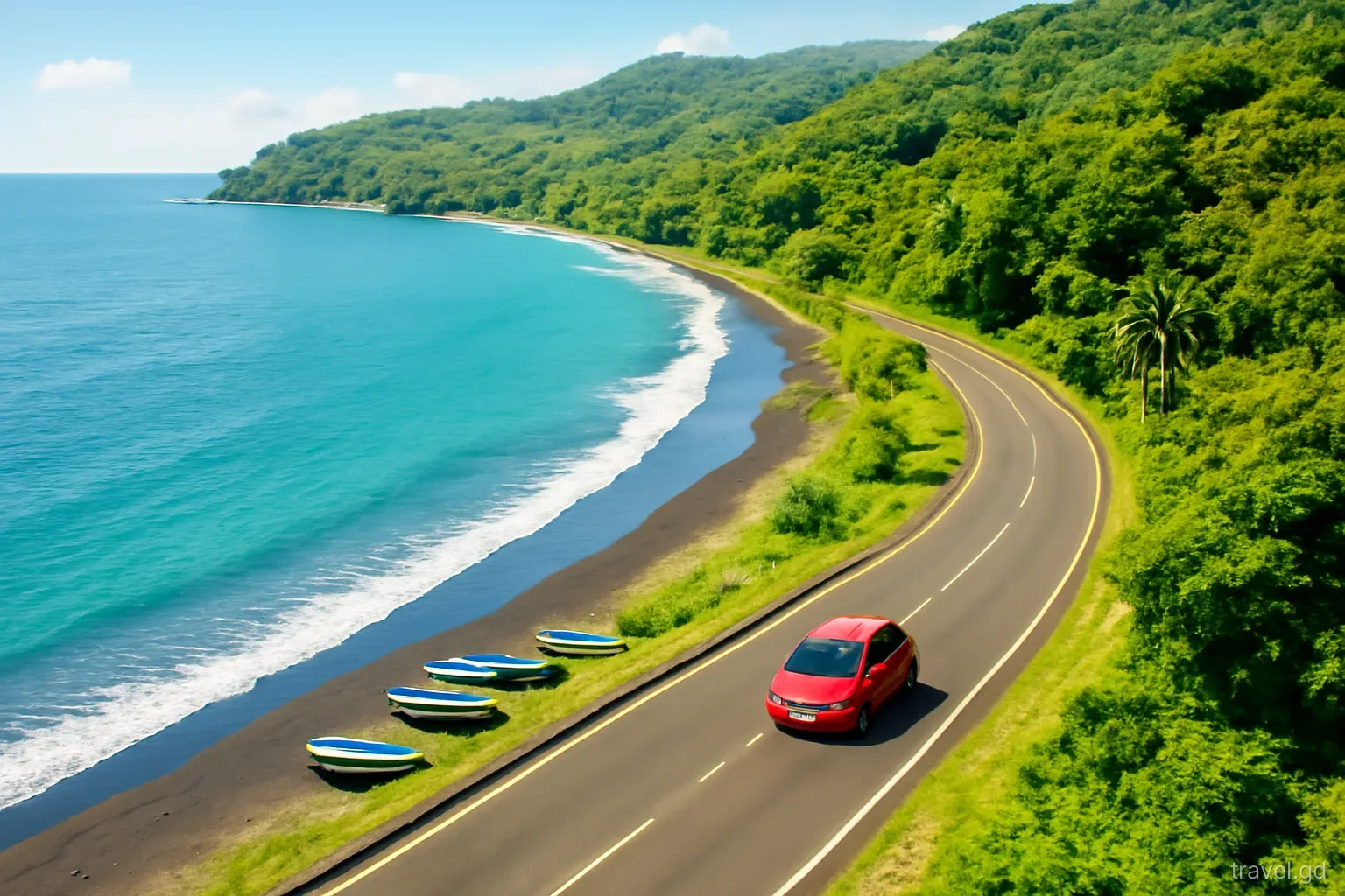
Grenada is small enough to drive around in a day and varied enough that you should not. The island splits naturally into three drives: the west coast road north from St George's through fishing towns to Sauteurs, the mountain road over the Grand Etang ridge to the Atlantic side, and the east and south-east coast through Grenville and St David's. Each makes a good day with a hire car.
This page is about the driving: what each road is like, how long it takes, where to break the journey and what to watch for. Timings are approximate, given in normal daytime traffic, and assume you stop for photographs and lunch. For what to see along the way in detail, combine these routes with an itinerary that suits your interests.
Before you set off: three rules for every route
First, start early. Mornings are cooler, traffic around St George's is lighter after the rush hour, and rain in the mountainous interior is more common in the afternoon. A departure from the south-west at around eight or nine gives a full day without rushing.
Second, fill up before leaving the south-west. Fuel stations are easy to find around Grand Anse, St George's and the larger towns, but they are spaced out in the north, along stretches of the east coast and on the interior road. A full tank removes any worry.
Third, be back on familiar roads before dark. Sunset falls around six to half past six all year, and the interior and northern roads are unlit, winding and lined with deep drains in places. Plan the return leg so that the last hour of driving is on the busier, better-lit roads of the south-west. Download an offline map before you go; mobile signal drops in places on the mountain road.
Route one: the west coast road to Sauteurs
The west coast road runs north from St George's along the Caribbean shore, through St George and St John parishes into St Mark and on to Sauteurs in St Patrick. It is the most straightforward of the three drives: one main road, mostly within sight of the sea, passing through villages such as Grand Mal, Happy Hill and Grand Roy, then the towns of Gouyave and Victoria.
Allow roughly an hour and a quarter to an hour and a half for the drive from St George's to Sauteurs without long stops, more in heavy traffic. The road is narrow through villages, with sharp bends where it climbs over headlands, and buses stop frequently. Turn-offs lead inland, for example to Concord, where a side road climbs into the valley towards the Concord waterfalls; side roads like this are steeper and narrower than the main road.
Gouyave makes a natural midway stop, with its nutmeg processing station, fishing harbour and food stalls. At Sauteurs, the cliff by the church known as Leapers' Hill, or Carib's Leap, looks out north towards the Grenadines. From there, you can return the same way or continue onto the east coast loop.
Route two: over the mountains via Grand Etang
The road over the central ridge connects St George's with Grenville on the Atlantic side, passing through the Grand Etang Forest Reserve. It climbs steadily through steep, winding bends into the rainforest, reaching the area around the Grand Etang crater lake at roughly 500 metres above sea level, then descends towards Grenville. It is the most dramatic drive on the island and also the most demanding.
Allow about an hour from St George's to Grenville without stops. With a visit to the forest reserve, a walk to a viewpoint, and a stop at Annandale Falls near the road on the St George's side, it easily becomes a half day. Seven Sisters Falls, reached on foot from a trailhead near the reserve, requires a muddy hike and is best done with a local guide.
Expect cooler air, mist and frequent showers at the top, even when the coast is sunny. The road surface can be slippery when wet, and some bends are tight enough that larger vehicles need the whole road. Use the horn before blind corners, keep speeds low and take the descent in a lower gear to spare the brakes. Mona monkeys are sometimes seen near the reserve; do not feed them. Pull fully off the road before stopping for photographs, as there is little room on the bends and local drivers come up quickly.
Route three: the east coast and St David's
The east coast drive links Grenville, the main town of St Andrew and the island's second-largest town, with the south-east parishes and back to the south-west. Heading south from Grenville, the road passes through Marquis and on into St David's, where side roads drop to bays such as La Sagesse and Westerhall. It is a quieter, more rural drive than the west coast, with the Atlantic swell on one side and farmland and villages on the other.
From Grenville back to Grand Anse by the coastal route takes roughly an hour to an hour and a half without long stops. Combined with the Grand Etang crossing in the morning, it makes a full loop: St George's, over the mountains to Grenville, then south and west back to the south coast by late afternoon. Mount Carmel Falls lies inland of the coast road south of Grenville, reached by a short but steep and slippery walk.
North of Grenville, a separate stretch of the east coast leads past the old Pearls airstrip towards Lake Antoine, the River Antoine rum distillery and the beaches at Bathway and Levera in St Patrick. Combining that with the west coast makes a long northern loop; it is a big day, so start early.
Matching routes to days, weather and traffic
With three or four days of car hire, give each route its own day rather than chaining them. A sensible order is the west coast first, because it is the simplest road and builds confidence; the Grand Etang crossing and east coast loop second, once you are used to the car; and the northern loop last, as the longest day. If you have only two days, combine the west coast with the north on one day, starting early, and the mountain crossing with the south-east on the other.
Check the forecast in the morning. After heavy overnight rain, the mountain road can be slippery, waterfall trails muddy and rivers high, so swap to the coastal route that day and save Grand Etang for a drier one. In the wetter months, roughly June to November, afternoon downpours are common in the interior even on bright mornings.
Avoid crossing St George's at peak times. Leaving the south-west before the morning rush, or after about nine, saves a slow crawl along the Lagoon Road and through town. On days when several cruise ships are in port, traffic and parking around the capital are heavier; ask your hotel which days these are.
Pitfalls on Grenada road trips
The same few problems come up on every route. Most are avoided by planning the timing.
- Trying to do all three routes in one day. It is possible, but you spend the day in the car and finish in the dark.
- Driving through St George's at the start or end of the working day, or on a busy cruise-ship morning.
- Following a navigation app onto a steep, unpaved shortcut. Stay on the main roads unless a local confirms a side road is suitable.
- Parking too close to the drain edge at viewpoints and roadside stalls.
- Underestimating the walk at waterfalls. Wear shoes with grip and take water; trails are muddy after rain.
- Leaving bags visible in the car at beaches and trailheads.
- Forgetting cash. Small entrance fees, roadside fruit and snacks in rural areas are generally cash only, in EC dollars.
Frequently asked questions
Can Grenada be driven around in one day?
Yes, a full loop of the main island can be driven in a long day, but with stops it leaves little time anywhere and risks finishing after dark. Splitting the island into two or three driving days is far more enjoyable.
How long does it take to drive from St George's to Sauteurs?
Roughly an hour and a quarter to an hour and a half along the west coast road in normal traffic, without long stops. Villages, bends and frequent bus stops slow the journey, and traffic leaving St George's can add time at rush hour.
Is the Grand Etang road difficult to drive?
It is the most demanding road on the island: steep, winding and often wet near the top, with tight bends. It is manageable for a careful driver in daylight. Go slowly, use the horn on blind corners and use a lower gear on the descent.
Where are fuel stations in Grenada?
Fuel stations are concentrated around Grand Anse, St George's and the larger towns such as Grenville. They are fewer in the far north, on parts of the east coast and on the interior road, so fill up before leaving the south-west.
What is the best direction to drive the Grand Etang and east coast loop?
Many drivers cross the mountains via Grand Etang in the morning, when rain is less likely in the interior, then return along the east and south-east coast in the afternoon. That puts the busier, simpler roads at the end of the day.